A kind of Lecture: https://www.cityofharborsprings.com/2021-master-plan-updates/
In the complex web of urban planning, the creation of a master plan and the zoning code that follows are not merely technical exercises. They are the backbone of a city’s future — decisions that will shape its growth, its economic landscape, and its overall identity. However, there lies a critical question that demands our attention: Are we basing our city’s future on outdated assumptions made in a pre-COVID world?
The current Master Plan, set in motion by surveys conducted during the pandemic, now stands as the foundation upon which our new zoning code is being shaped. While surveys, town hall meetings, and a ballot vote have provided valuable input, the reality is that the world has changed dramatically in the wake of COVID-19. Remote work, shifts in tourism patterns, new demands for affordable housing, and a deepened sense of community needs are not reflected in that plan. As we move forward, we must ask ourselves whether we’re committing to a blueprint that no longer serves the needs of today’s residents and businesses.
I am looking for all the conversations in City Council about the Spillway, under #119 into town for a bike path
Based on the provided City Council meeting minutes, packets, and transcripts from 2019 through 2025, here is a detailed chronological summary of the conversations regarding the use of the M-119 Spillway (tunnel) as a bike path extension into downtown Harbor Springs.
1. Initial Rejection and Strategy (2019 – 2020)
The M-119 Spillway was originally constructed as a “FEMA Flood Plain Mitigation Project” to handle water runoff. Early conversations focused on the hurdle that the structure was permitted by the Michigan Department of Transportation (MDOT) strictly for water, not pedestrians.
• MDOT Denial: In early 2020, City Manager Victor Sinadinoski reported that MDOT had instructed the City that the tunnel could not be used as a bike or pedestrian path. MDOT cited public safety and liability issues, distinguishing it from the Petoskey US-31 tunnel which was designed for multi-purpose use from the start.
• Council Reaction: Council members questioned why the tunnel wasn’t originally designed for bikes. It was explained that during the initial FEMA project, the City intentionally did not request bike usage to avoid complicating the urgent flood mitigation approval process.
• Maintenance Issues: In mid-2020, discussions also focused on repairs to the tunnel (due to sinking/water issues) by Team Elmer’s, noting that updated plans for a bike path could only be submitted once the physical repairs were secure.
• Landscaping Approval: In November 2020, Council approved a landscaping plan for the spillway entrance (using boulders) but explicitly set aside site furnishings like a kiosk and bollard lighting until MDOT approved the spillway for bicycle use.
2. “One Last Shot” and Data Collection (2021)
In February 2021, the Council held a critical discussion regarding the “plausibility” of the project.
• Cost vs. Safety: Staff reported that MDOT informally indicated they would likely reject a formal application. Complying with MDOT’s requirements (such as automatic gates) would push the cost to over **600,000∗∗,comparedto400,000 for an alternative at-grade crossing near Tourist Park.
• The “Winter Flood” Argument: Joe O’Neil from Benchmark Engineering argued that MDOT was using hydraulic data based on 100-year flood events that typically occur in late winter/early spring (frozen ground/snow melt) when cyclists are not present. He suggested a seasonal closure policy could mitigate the risk.
• Decision to Proceed: Despite the costs and MDOT’s resistance, Council consensus was to “give it one last shot” and submit a formal application because the tunnel was viewed as the “ultimate solution” for safety, avoiding high-speed traffic crossings.
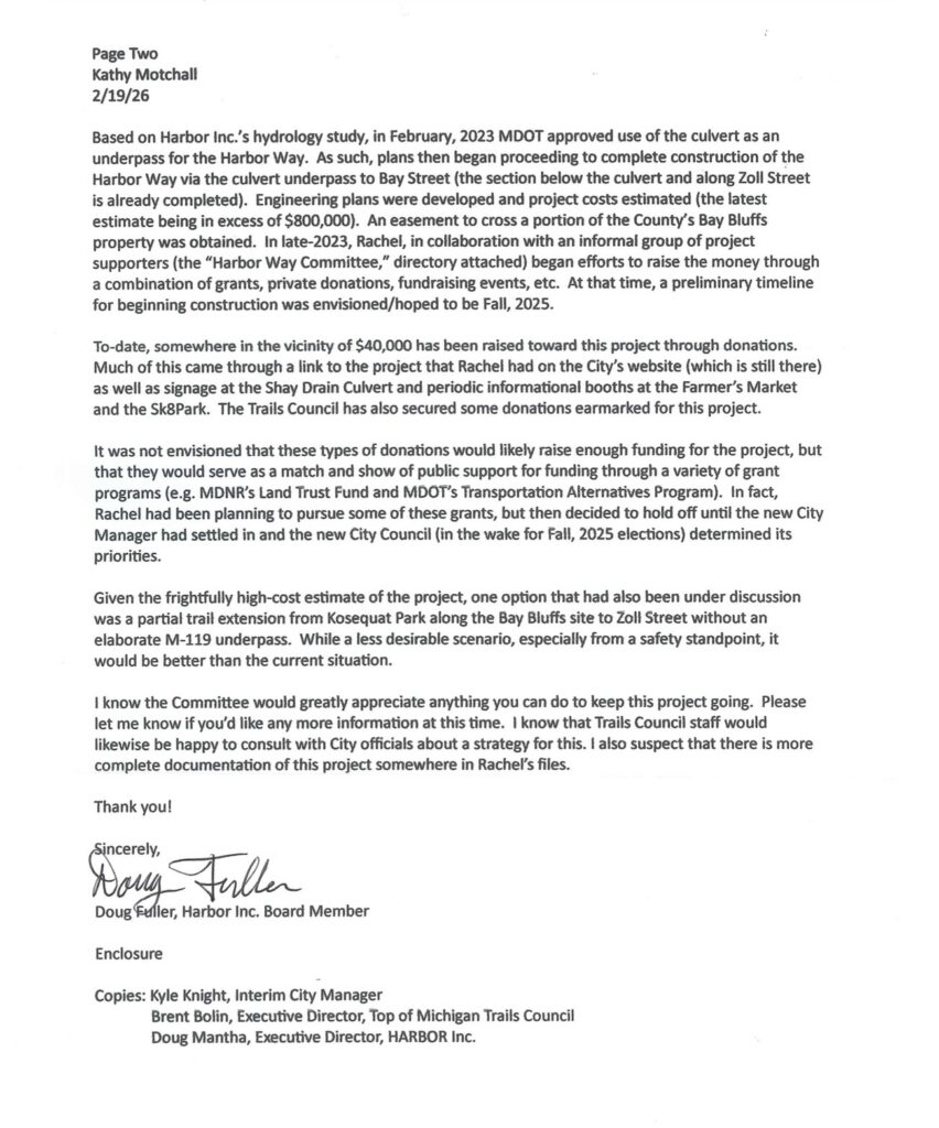
• Monitoring: To prove safety, volunteers from Harbor Inc. (led by Doug Fuller) spent over a year monitoring water levels in the spillway during rain events to generate data for MDOT.
3. Approval and Route Finalization (2022 – 2023)
The data collection strategy worked, leading to a shift in MDOT’s position.
• Preliminary Approval: By October 2022, the City Manager reported that MDOT granted preliminary approval to use the spillway as a bike path, provided the City submitted final construction plans.
• Grant Applications: In November 2022, Council passed resolutions to apply for grants (such as the MDOT TAP grant and DNR grants) to fund the project, leveraging the new approval.
• Official Approval: In March 2023, it was announced that MDOT officially approved the use of the spillway as a bike path. The City then focused on securing an easement from Emmet County to route the path across Bay Bluffs/Medical Care Facility property.
• Easement Secured: By July 2023, the City received the necessary easement from the County to route the path along the baseball fields and skate park.
4. Final Design and Current Status (2024 – 2025)
With approvals in hand, the focus shifted to the specific route design and fundraising.
• The Route: The approved route extends the existing bike path, runs along the baseball fields/skate park (on the County easement), loops into the spillway to cross under M-119, travels down Zoll Street, and empties onto Bay Streetinto downtown.
• Cost: The estimated cost for this phase is $800,000.
• Funding Strategy: The City stated it does not have the tax dollars for this “non-necessary infrastructure” project and is relying on donations and grants. Harbor Way Inc. is spearheading the fundraising.
• Council Prioritization (2025): In early 2025, discussions indicated some hesitation regarding the priority of the project.
◦ In a January 2025 prioritization exercise, Councilperson Wendy Reeve ranked the bike path last, stating she did not want to “spend that amount of money to move a bike six blocks”.
◦ The City continues to “passively fundraise” for the project alongside the Boardwalk reconstruction.
5. Alternatives Considered
Throughout these years, the Council briefly discussed alternatives if the tunnel failed:
• Tourist Park Crossing: An at-grade crossing near Ottawa Stadium. This was deemed dangerous due to 40-50 mph traffic speeds.
• Hoyt Street: Routing cyclists down Hoyt Street to cross M-119 at grade.
Bike Path History Under#119 3.26
Screenshot
![]()
Screenshot